Search and rescue: an expanding square for a liferaft
Plan an expanding square from the datum as an ECDIS route, sail it, find the liferaft by eye, close it slowly and report it.
- Phase 6: Emergencies and ship handling
- 4 steps on the bridge
- 4 oral questions
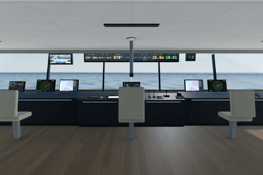
What you do on the bridge
- Plan the square
- Activate and sail it
- Find it and close it
- Report it
The oral questions, and what a good answer covers
The key points are in our own words. In the course, these questions come once you have done the job.
Describe an expanding square search. When would a single ship use it?Often asked
A good answer covers:
- Starts at the datum and spirals outward in square legs: S, S, 2S, 2S, 3S, 3S and so on, all turns the same way
- Used when the position of the search object is known within fairly close limits and the area is small
- Needs accurate navigation; the ECDIS route makes the turns exact
Show me on the bridgeThe datum is ahead. Plan the square from it in the route table.
You sight the liferaft. What do you do?Often asked
A good answer covers:
- Keep it in sight: a lookout on it and a mark on the ECDIS
- Report to the coordinator and the master: position, what was seen, and your intentions
- Approach slowly, usually to make a lee, and prepare the recovery equipment and the rescue boat
- Look after the survivors: count them, give first aid, and ask about any others
What decides the track spacing?
A good answer covers:
- How far off the search object can be seen: its size, the visibility, the sea state and the height of eye
- Smaller in poor visibility, at night or for a person in the water
- Normally given by the coordinator; IAMSAR has tables for it
Which other search patterns should you know, and when are they used?
A good answer covers:
- Sector search: a small area round a well known datum, such as a person seen falling overboard
- Parallel track search: a large area with an uncertain position, often several ships abreast
- Track line search: along the casualty's intended track when she is simply overdue
How the lesson runs
The tutor's narration from the lesson, step by step. On the bridge, each control lights up as it is named.
Brief
The coast guard has asked us to search for a liferaft. The datum is forty twenty four north, seventy three forty two west, just ahead. Its SART is not working, so we have to find it by eye.
They want an expanding square: track spacing half a mile, first leg north, all turns to starboard. The legs go S, S, two S, two S, three S, three S.
Plan the square
In the ECDIS route table, start a new route at the datum, then add the corners: half a mile north, half a mile east, a mile south, a mile west, a mile and a half north, a mile and a half east.
Activate and sail it
Activate it for monitoring, bring her to the datum and follow the legs at about eight knots. Post a lookout on each side; a raft low in the water is easy to miss.
Find it and close it
When you see it, keep it in sight and take the way off her. Close it slowly, to within a few cables, ready to make a lee for the recovery.
Report it
Now tell the coast station on the VHF: the liferaft found, its position, and that we are standing by to recover.
Do it, then explain it.
Read the answers here for free. With a pass you work this lesson on the bridge, then practise its questions and mark your answers.