Coastal passage on paper after both ECDIS fail
Get the position onto the paper chart, fix every 15 minutes, lay off an EP and a course to steer for the stream.
- Phase 5: Passage planning and keeping the watch
- 4 steps on the bridge
- 5 oral questions
What you do on the bridge
- Position on the paper chart
- Course to steer
- EP ahead
- Fix every 15 minutes
The oral questions, and what a good answer covers
The key points are in our own words. In the course, these questions come once you have done the job.
Both ECDIS fail on a coastal passage. What do you do?Often asked
A good answer covers:
- Note the time, and get the last good position onto the paper chart at once
- Take out the largest-scale chart held for where we are, with the route already on it
- Call the master, and keep the lookout and radar watch going all the while
- Fix often by more than one method: visual bearings, radar ranges, transits
- Consider slowing down, or standing further off, until the chartwork is settled
- Log it and report the defect
Show me on the bridgeThe chart table. Both ECDIS go dark two minutes in.
What makes a good visual fix?Often asked
A good answer covers:
- Three position lines rather than two, so a mistake shows up as a large cocked hat
- Marks well spread, so the lines cut at a good angle, never less than about 30 degrees
- Near marks before far ones: an angular error moves a far line further
- Take the bearings that change fastest, those near the beam, last
- A transit is the best line of all; a radar range is better than a radar bearing
- Identify each mark positively, and note the time of the fix
What's the difference between a DR and an EP?Often asked
A good answer covers:
- A DR is worked from the course steered and the speed through the water only
- An EP also allows for the tidal stream, and leeway where there is any
- The stream comes from the tidal diamond or atlas for the time, against high water at the standard port
- A fix compared with the DR at the same time gives the set and drift actually met
How do you work out a course to steer allowing for a tidal stream?
A good answer covers:
- Draw the ground track you want, from the position to the next waypoint
- From the start, lay off the stream vector for one hour: its set and rate
- From the end of the stream vector, swing an arc of one hour at your speed through the water to cut the track
- The line from the stream end to that point is the course to steer; then allow for leeway
- The point where the arc cuts the track also gives your speed over the ground
What counts as an adequate back-up for ECDIS?
A good answer covers:
- Whatever it is, it must let the voyage be finished safely if the main ECDIS fails
- The bridge team must be trained and practised in using it
How the lesson runs
The tutor's narration from the lesson, step by step. On the bridge, each control lights up as it is named.
Brief
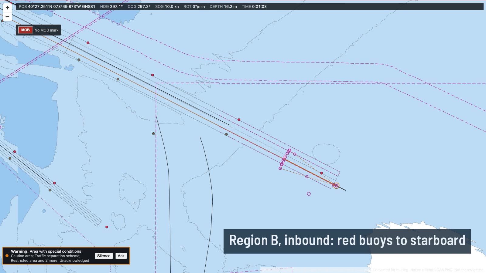
We're southbound three miles off the New Jersey shore at ten knots, in daylight. Two minutes in, both ECDIS will lose power, and the passage goes on by paper chart.
There's a tidal stream setting us south-west at about a knot. So everything we lay off has to allow for it.
Position on the paper chart
When both screens go dark, don't lose the position. Within three minutes, get a chart out and plot where we were at the failure, to within a fifth of a mile.
Use the largest-scale chart we hold for this stretch. The catalogue chartlet shows which are on board: the bigger scale sheet here is in the catalogue only, so SIM 120 is the one.
Course to steer
Now the course to steer for the next waypoint. Look up the stream at diamond A for the time, against high water at Sandy Hook, and work the triangle: stream for an hour, then an hour's run at our speed to the track.
EP ahead
From your latest fix, lay off an EP ahead: our course and speed through the water, plus the stream. When the time comes, we'll see how close it was. It has to be within three tenths of a mile.
Fix every 15 minutes
Through the half hour, fix at least every fifteen minutes, by bearings of charted marks, radar ranges, or a transit. Don't rely on one method alone.
Every fix goes on the largest-scale chart we hold, and every one must be within three tenths of a mile. Take bearings from the wing repeater, and use the radar for ranges off the coast.
The rules and guidance behind it
- Fix interval in open coastal water, as the drill sets it (15 minutes)
Do it, then explain it.
Read the answers here for free. With a pass you work this lesson on the bridge, then practise its questions and mark your answers.